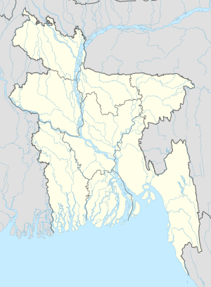
Mathbaria
Mathbaria
মঠবাড়িয়া | |
|---|---|
Town and Municipality | |
| Coordinates: 22°18′N 89°57′E / 22.300°N 89.950°E | |
| Country | |
| Division | Barisal Division |
| District | Pirojpur District |
| Upazila | Mathbaria Upazila |
| Government | |
| • Body | Mathbaria Municipality |
| Area | |
| • Total | 22.50 km2 (8.69 sq mi) |
| Population | |
| • Total | 28,851 [1] |
| Time zone | UTC+6 (Bangladesh Time) |
Mathbaria (Bengali: মঠবাড়িয়া) is a town and paurashava(municipality) in Pirojpur District in the Barisal Division of southwestern Bangladesh.[2] It is the administrative headquarter of Mathbaria Upazila.
References
- ^ "Mathbaria town's area and population". Retrieved 2019-09-14.
- ^ "NGA GeoName Database". National Geospatial-Intelligence Agency. Retrieved 2008-07-14.

